Switzerland
5﹡ Design Hotels
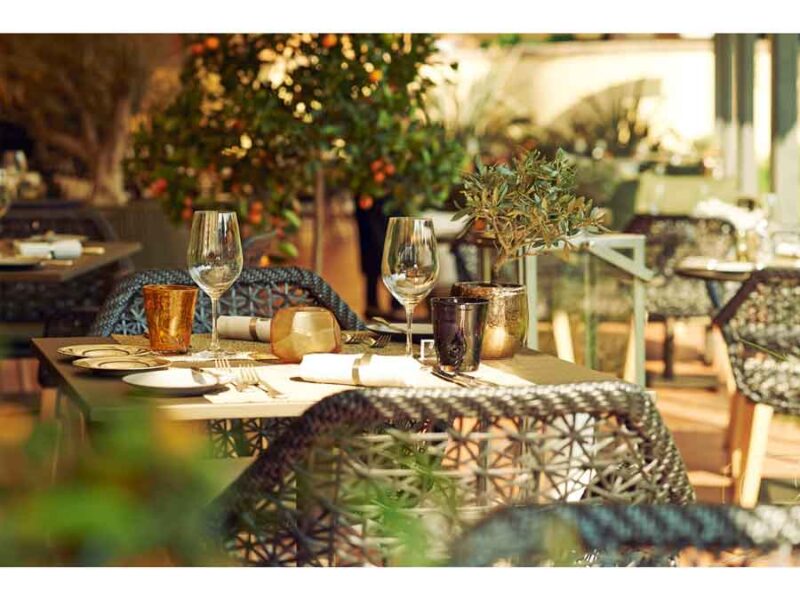
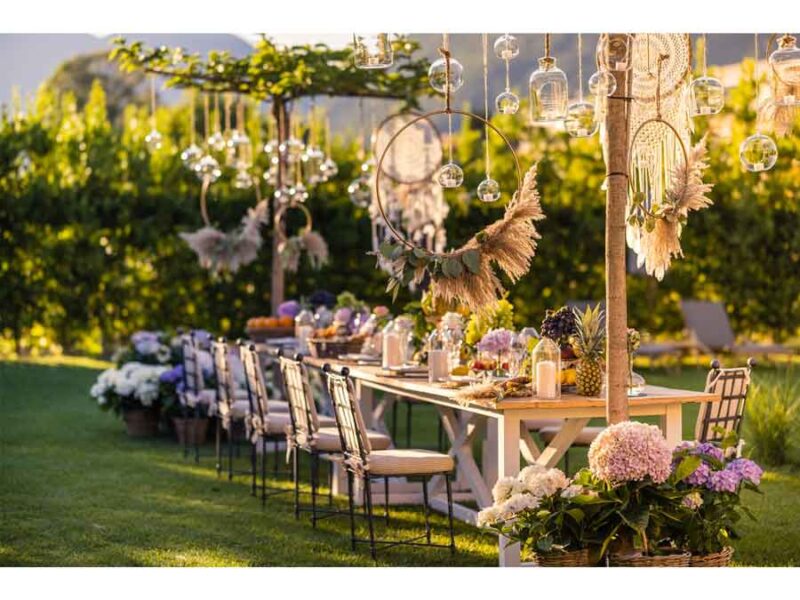
Sie lieben die Schweiz? Wir auch. 5 Sterne dürfen es sein? Zurecht. Aber bitte ungezwungen? Fantastisch. Denn heute ist wahrer Luxus, die Wahl zu haben. Darüber was einem selbst so richtig gut tut. Das ruft nach Freiheit. Und die Giardino Hotels folgen. Heute Ferien am Pool, morgen Alpen erkunden und übermorgen die Gesundheit stärken? Alles drin. Sie entscheiden, was perfekt zu Ihnen passt, wir kümmern uns darum.